Reality Capture & 3D Laser Scanning Services for Construction

Reality Capture, 3D Laser Scanning & As-Built Services

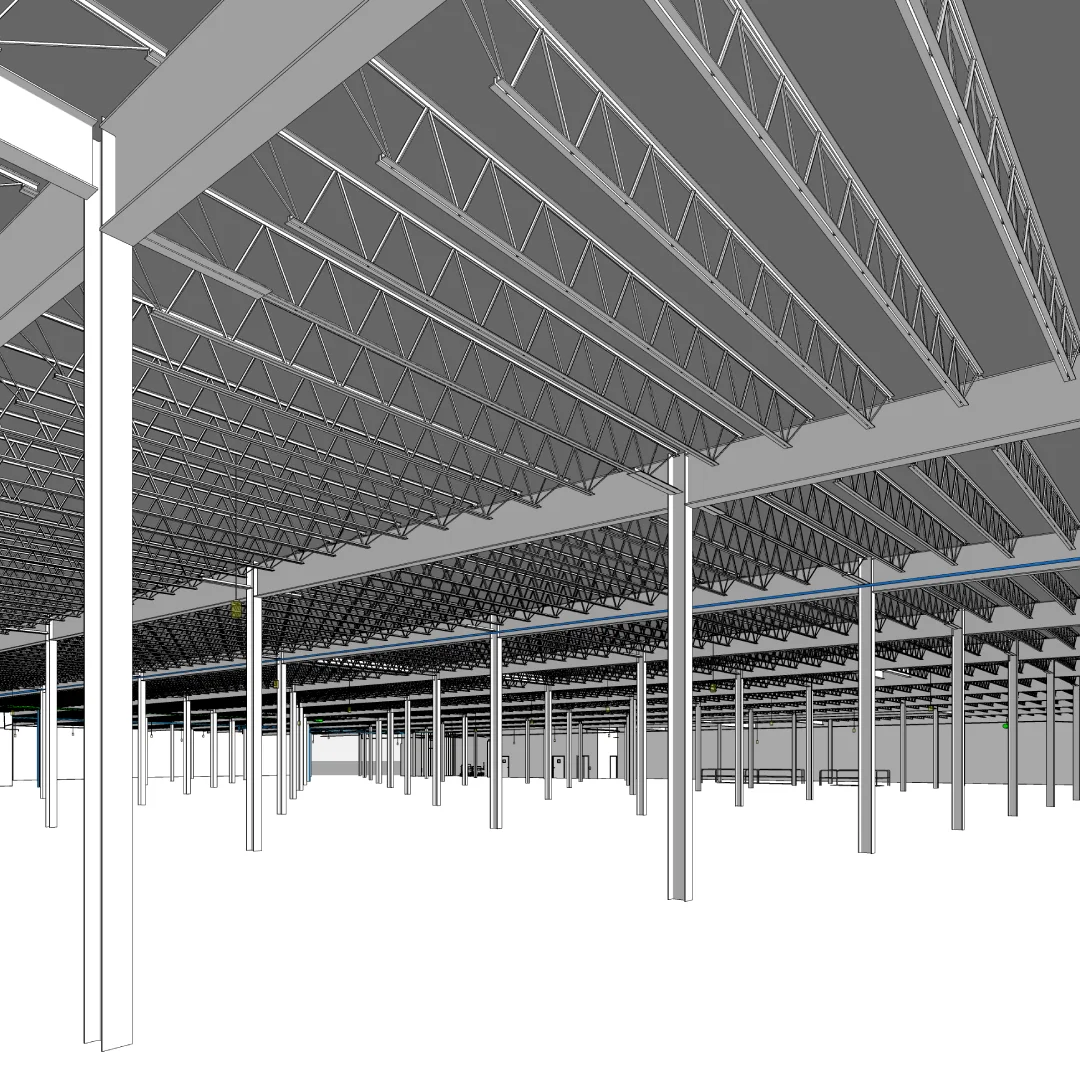
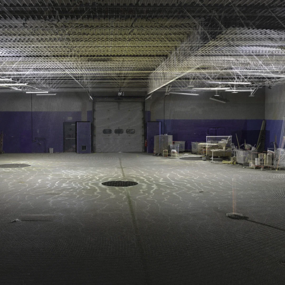
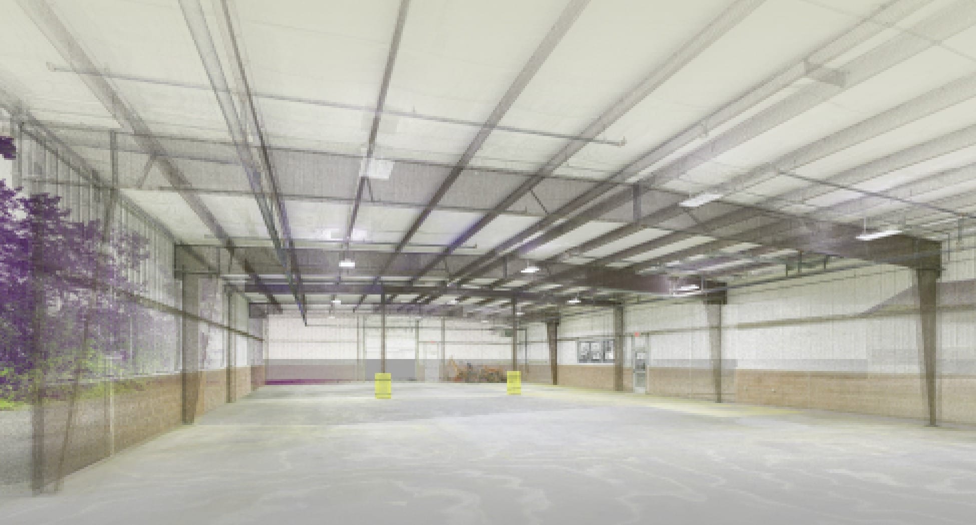
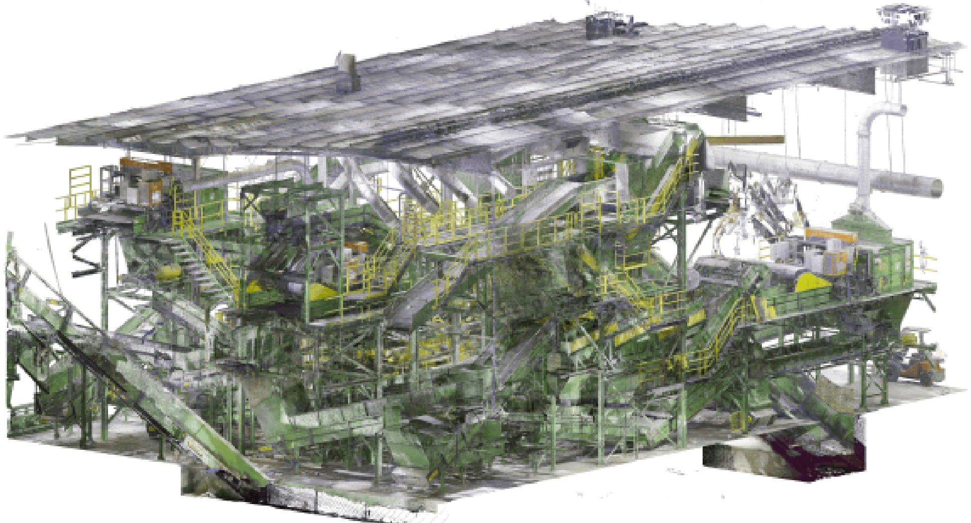
OAR provides professional reality capture, 3D laser scanning, LiDAR surveying, and as-built services including as built drawings and documentation for construction projects, facility retrofits, and industrial environments. Replace assumptions with verified reality.

Want us to reach out?

Trusted by

Learn More About Us

Our reality capture services use advanced 3D laser scanning and LiDAR technology to deliver accurate as built drawings, as-built documentation, and comprehensive as built services for construction and facility management. 

Planning Without Verified As-Built Data Creates Costly Risk

Facing These Challenges?

How OAR 3D Laser Scanning Solves These Problems

Complete 3D Laser Scanning & As-Built Services

As-Built Documentation Services

Create accurate as-built drawings and as-built BIM models for renovation, retrofit, and facility management projects. Laser scanning captures reality so your as-built documentation reflects actual conditions.

3D Laser Scanning for Construction

Scan construction sites, industrial facilities, and commercial buildings with terrestrial laser scanning and aerial LiDAR. Fast mobilization and accurate deliverables nationwide.

Construction Surveying Solutions

Licensed construction surveyors using 3D laser scanning for site surveys, layout, and as-built verification. Reduce field time while improving accuracy.

Point Cloud to Model Conversion

Transform laser scan point clouds into actionable data. Point cloud processing, registration, and conversion to CAD, BIM, or digital twin formats

Real Results from OAR Laser Scanning Services

Industrial MRF Retrofit Project

Scanned 110,000 SF facility to create accurate as-built BIM models for equipment planning. Early-phase scanning enabled design team to eliminate conflicts before fabrication.

Result: Client avoided costly field rework by scanning before finalizing design contracts.

Food Processing Plant Expansion

Delivered complete as-built documentation including point clouds, CAD drawings, and Revit models for facility expansion planning.

Result: Reduced site visits by 50% and accelerated project timeline with remote collaboration using scan data.

What Our Clients Say

Replace Assumptions with Verified Reality

Why Construction Teams Choose OAR for Laser Scanning:

Want us to reach out?